
Mabuasehube topographic map
Interactive map
Click on the map to display elevation.
About this map
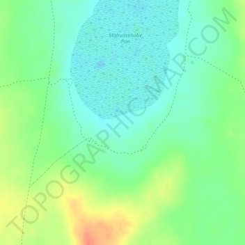
Name: Mabuasehube topographic map, elevation, terrain.
Location: Mabuasehube, Kgalagadi District, Botswana (-24.98858 21.98748 -24.96858 22.00748)
Average elevation: 1,045 m
Minimum elevation: 1,024 m
Maximum elevation: 1,077 m
Other topographic maps
Click on a map to view its topography, its elevation and its terrain.