
Tarei topographic map
Interactive map
Click on the map to display elevation.
About this map
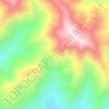
Name: Tarei topographic map, elevation, terrain.
Location: Tarei, Kepulauan Yapen, Papua, Indonésia (-1.84379 136.58771 -1.80379 136.62771)
Average elevation: 517 m
Minimum elevation: 90 m
Maximum elevation: 989 m