

Andes topographic map
Click on the map to display elevation.
Andes
The Andes Mountains are the highest mountain range outside Asia. The highest mountain outside Asia, Argentina's Mount Aconcagua, rises to an elevation of about 6,961 m (22,838 ft) above sea level. The peak of Chimborazo in the Ecuadorian Andes is farther from the Earth's center than any other location on the Earth's surface, due to the equatorial bulge resulting from the Earth's rotation. The world's highest volcanoes are in the Andes, including Ojos del Salado on the Chile-Argentina border, which rises to 6,893 m (22,615 ft).
About this map
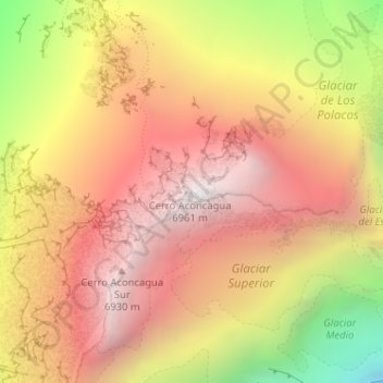
Name: Andes topographic map, elevation, terrain.
Average elevation: 6,208 m
Minimum elevation: 5,053 m
Maximum elevation: 6,947 m