Geolocate

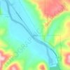
Ammon topographic map

Click on the map to display elevation.

About this map
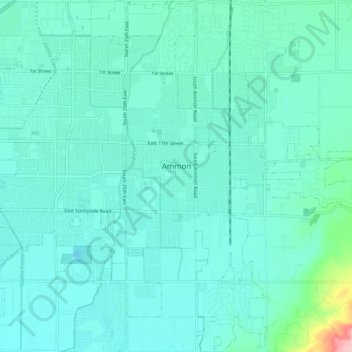
Name: Ammon topographic map, elevation, terrain.

Location: Ammon, Bonneville County, Idaho, 83406, United States (43.43882 -111.98452 43.51136 -111.89777)

Average elevation: 1,448 m

Minimum elevation: 1,422 m

Maximum elevation: 1,621 m

Other topographic maps

Click on a map to view its topography, its elevation and its terrain.

Ririe Dam

United States > Idaho > Bonneville County

Average elevation: 1,585 m

Palisades

United States > Idaho > Bonneville County

Average elevation: 1,762 m

Black Mountain

United States > Idaho > Bonneville County

Average elevation: 2,471 m

Ririe Reservoir

United States > Idaho > Bonneville County

Average elevation: 1,720 m

Mount Baldy

United States > Idaho > Bonneville County

Average elevation: 2,089 m

Wheaton Mountain

United States > Idaho > Bonneville County

Average elevation: 1,855 m

Gear up for your next adventure:

🧼Biodegradable Soap - Leave-no-trace hygiene for multi-day mountain treks
📕Outdoor Navigation Books - Learn traditional and modern navigation techniques
🧤Waterproof Overmitts - Extreme weather protection for hikers and mountaineers
🧢Hiking Hats - Sun and weather protection for outdoor walks
📱Rugged Phone Cases - Heavy-duty protection for smartphones used as secondary GPS tools

As an Amazon Associate, this site earns from qualifying purchases at no extra cost to you.