
ស្រុកសំពៅលូន topographic map
Interactive map
Click on the map to display elevation.
About this map
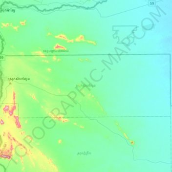
Name: ស្រុកសំពៅលូន topographic map, elevation, terrain.
Location: ស្រុកសំពៅលូន, Battambang, Cambodge (13.35885 102.35468 13.47936 102.68796)
Average elevation: 99 m
Minimum elevation: 23 m
Maximum elevation: 527 m
Other topographic maps
Click on a map to view its topography, its elevation and its terrain.