
Establés topographic map
Interactive map
Click on the map to display elevation.
About this map
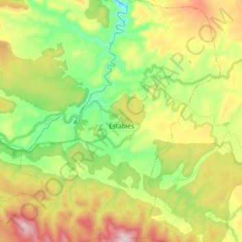
Name: Establés topographic map, elevation, terrain.
Location: Establés, Guadalajara, Castille-La Manche, Espagne (40.96176 -2.09591 41.05784 -1.97217)
Average elevation: 1,209 m
Minimum elevation: 1,016 m
Maximum elevation: 1,484 m