
Redford topographic map
Interactive map
Click on the map to display elevation.
About this map
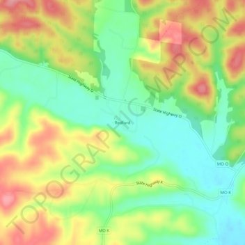
Name: Redford topographic map, elevation, terrain.
Location: Redford, Reynolds County, Missouri, 63665, United States (37.30005 -90.91846 37.34005 -90.87846)
Average elevation: 247 m
Minimum elevation: 196 m
Maximum elevation: 311 m