
صيار topographic map
Interactive map
Click on the map to display elevation.
About this map
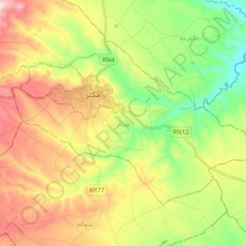
Name: صيار topographic map, elevation, terrain.
Location: صيار, مكثر, سليانة, Tunísia (35.80639 9.16095 35.87933 9.29570)
Average elevation: 859 m
Minimum elevation: 674 m
Maximum elevation: 1,095 m
Other topographic maps
Click on a map to view its topography, its elevation and its terrain.