
Sanagorán topographic map
Interactive map
Click on the map to display elevation.
About this map
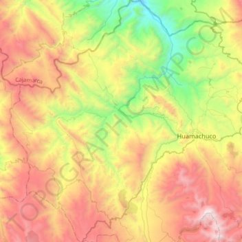
Name: Sanagorán topographic map, elevation, terrain.
Location: Sanagorán, Provincia de Sánchez Carrión, La Libertad, Perú (-7.94137 -78.27335 -7.65316 -78.07617)
Average elevation: 3,339 m
Minimum elevation: 2,191 m
Maximum elevation: 4,720 m