Geolocate

Kayaga topographic map

Click on the map to display elevation.

About this map
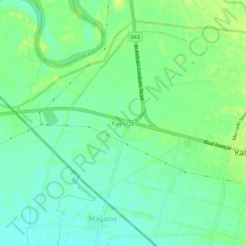
Name: Kayaga topographic map, elevation, terrain.

Location: Kayaga, Kabacan, Cotabato, Soccsksargen, 9407, Philippines (7.09300 124.78245 7.13300 124.82245)

Average elevation: 19 m

Minimum elevation: 11 m

Maximum elevation: 26 m

Gear up for your next adventure:

💧Hydration Reservoirs - Convenient water bladders for hands-free drinking on the move
🥾Hiking Boots - Waterproof and durable boots for long-distance hiking in the UK
🔦Keychain LED Torches - Emergency backup light for finding gear in your pack
🌄Outdoor Binoculars - Compact binoculars for landscape observation
🍱Food Containers - Reusable containers for outdoor meals

As an Amazon Associate, this site earns from qualifying purchases at no extra cost to you.