
Preunegg topographic map
Interactive map
Click on the map to display elevation.
About this map
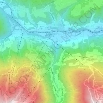
Name: Preunegg topographic map, elevation, terrain.
Average elevation: 1,113 m
Minimum elevation: 752 m
Maximum elevation: 1,799 m
Other topographic maps
Click on a map to view its topography, its elevation and its terrain.
Planai
Austria > Styria > Bezirk Liezen > Schladming
Planai, Schladming, Politische Expositur Gröbming, Bezirk Liezen, Styria, 8970, Austria
Average elevation: 1,593 m