
Hellandsøya topographic map
Interactive map
Click on the map to display elevation.
About this map
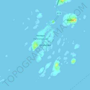
Name: Hellandsøya topographic map, elevation, terrain.
Location: Hellandsøya, Henningsvær, Vågan, Nordland, Norway (68.14585 14.19730 68.15615 14.21229)
Average elevation: 0 m
Minimum elevation: -2 m
Maximum elevation: 27 m