
Champua topographic map
Click on the map to display elevation.
About this map
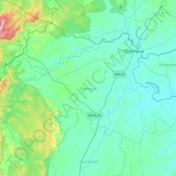
Name: Champua topographic map, elevation, terrain.
Location: Champua, Kendujhar, Odisha, India (21.91697 85.46896 22.09582 85.77643)
Average elevation: 443 m
Minimum elevation: 357 m
Maximum elevation: 901 m