
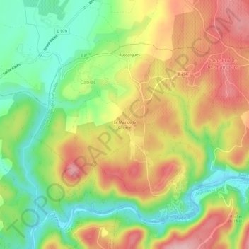
Le Mas de la Cabane topographic map
Interactive map
Click on the map to display elevation.
About this map
Name: Le Mas de la Cabane topographic map, elevation, terrain.
Average elevation: 184 m
Minimum elevation: 95 m
Maximum elevation: 279 m
Other topographic maps
Click on a map to view its topography, its elevation and its terrain.
Russargues
France > Occitanie > Gard > Cabiac
Russargues, Cabiac, Saint-Privat-de-Champclos, Alès, Gard, Occitanie, France métropolitaine, 30430, France
Average elevation: 189 m