
Łęczyca topographic map
Interactive map
Click on the map to display elevation.
About this map
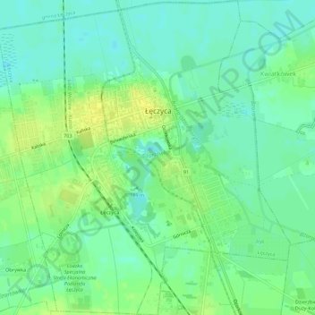
Name: Łęczyca topographic map, elevation, terrain.
Location: Łęczyca, Łęczyca County, Łódzkie Voivodship, Poland (52.03763 19.17371 52.07115 19.22451)
Average elevation: 106 m
Minimum elevation: 97 m
Maximum elevation: 116 m