
Stara Gora topographic map
Interactive map
Click on the map to display elevation.
About this map
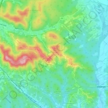
Name: Stara Gora topographic map, elevation, terrain.
Location: Stara Gora, Nova Gorica, 5102, Slovenia (45.91031 13.65850 45.95031 13.69850)
Average elevation: 105 m
Minimum elevation: 51 m
Maximum elevation: 219 m
Other topographic maps
Click on a map to view its topography, its elevation and its terrain.