
Làng Sá topographic map
Interactive map
Click on the map to display elevation.
About this map
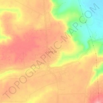
Name: Làng Sá topographic map, elevation, terrain.
Location: Làng Sá, Kon Tum City, Kon Tum province, 600000, Vietnam (14.29794 107.90855 14.33794 107.94855)
Average elevation: 592 m
Minimum elevation: 519 m
Maximum elevation: 633 m