
Thank you for supporting this site ❤️
Make a donation
Make a donation
Gear up for your next adventure:
As an Amazon Associate, this site earns from qualifying purchases at no extra cost to you.
Samaspur topographic map
Click on the map to display elevation.
Thank you for supporting this site ❤️
Make a donation
Make a donation
Gear up for your next adventure:
As an Amazon Associate, this site earns from qualifying purchases at no extra cost to you.
About this map
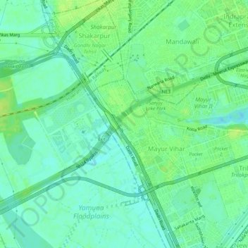
Name: Samaspur topographic map, elevation, terrain.
Location: Samaspur, Mayur Vihar Tehsil, East Delhi, Delhi, 110091, India (28.59376 77.26487 28.63376 77.30487)
Average elevation: 205 m
Minimum elevation: 198 m
Maximum elevation: 211 m
Thank you for supporting this site ❤️
Make a donation
Make a donation
Gear up for your next adventure:
As an Amazon Associate, this site earns from qualifying purchases at no extra cost to you.