
Pedernales topographic map
Interactive map
Click on the map to display elevation.
About this map
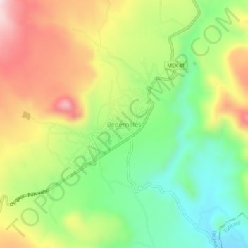
Name: Pedernales topographic map, elevation, terrain.
Location: Pedernales, Tacámbaro, Michoacán de Ocampo, México (19.12115 -101.48834 19.16115 -101.44834)
Average elevation: 1,058 m
Minimum elevation: 859 m
Maximum elevation: 1,313 m