
Pasakha topographic map
Interactive map
Click on the map to display elevation.
About this map
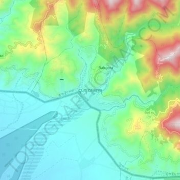
Name: Pasakha topographic map, elevation, terrain.
Location: Pasakha, Samphelling Gewog, Chukha District, Bhutan (26.80150 89.40564 26.88150 89.48564)
Average elevation: 483 m
Minimum elevation: 194 m
Maximum elevation: 1,263 m