
Tanchon topographic map
Interactive map
Click on the map to display elevation.
About this map
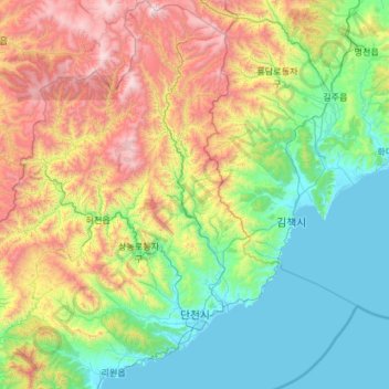
Name: Tanchon topographic map, elevation, terrain.
Location: Tanchon, Hamgyongnam-do, North Korea (40.28319 128.44700 41.18518 129.26907)
Average elevation: 620 m
Minimum elevation: -1 m
Maximum elevation: 2,289 m