
Thank you for supporting this site ❤️
Make a donation
Make a donation
Gear up for your next adventure:
As an Amazon Associate, this site earns from qualifying purchases at no extra cost to you.
Quito topographic map
Click on the map to display elevation.
Thank you for supporting this site ❤️
Make a donation
Make a donation
Gear up for your next adventure:
As an Amazon Associate, this site earns from qualifying purchases at no extra cost to you.
About this map
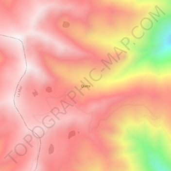
Name: Quito topographic map, elevation, terrain.
Location: Quito, Luis Carranza, Provincia de La Mar, Ayacucho, Perú (-13.31565 -73.92864 -13.27565 -73.88864)
Average elevation: 4,039 m
Minimum elevation: 3,253 m
Maximum elevation: 4,352 m
Thank you for supporting this site ❤️
Make a donation
Make a donation
Gear up for your next adventure:
As an Amazon Associate, this site earns from qualifying purchases at no extra cost to you.