
Djarkpanga topographic map
Interactive map
Click on the map to display elevation.
About this map
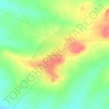
Name: Djarkpanga topographic map, elevation, terrain.
Location: Djarkpanga, Préfecture de Sotouboua, Région Centrale, Togo (8.76248 0.54473 8.80248 0.58473)
Average elevation: 172 m
Minimum elevation: 141 m
Maximum elevation: 209 m