
Butzbach topographic map
Interactive map
Click on the map to display elevation.
Butzbach
Butzbach besteht aus den Stadtteilen Bodenrod, Butzbach (Kernstadt), Ebersgöns, Fauerbach vor der Höhe, Griedel, Hausen-Oes, Hoch-Weisel, Kirch-Göns, Maibach, Münster, Nieder-Weisel, Ostheim, Pohl-Göns und Wiesental.
About this map
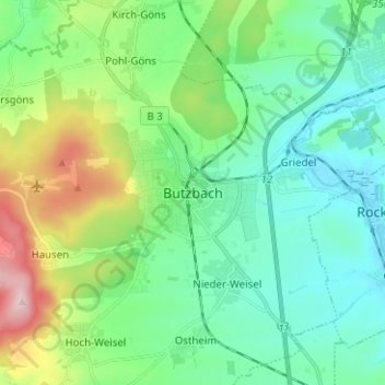
Name: Butzbach topographic map, elevation, terrain.
Location: Butzbach, Wetteraukreis, Hessen, 35510, Deutschland (50.39404 8.63112 50.47404 8.71112)
Average elevation: 226 m
Minimum elevation: 140 m
Maximum elevation: 478 m