
Wahsatch topographic map
Interactive map
Click on the map to display elevation.
About this map
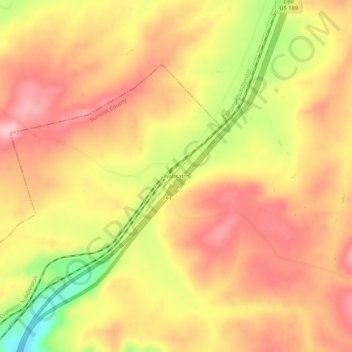
Name: Wahsatch topographic map, elevation, terrain.
Location: Wahsatch, Summit County, Utah, États-Unis d'Amérique (41.18196 -111.12811 41.22196 -111.08811)
Average elevation: 2,098 m
Minimum elevation: 1,998 m
Maximum elevation: 2,155 m