
Annai topographic map
Interactive map
Click on the map to display elevation.
About this map
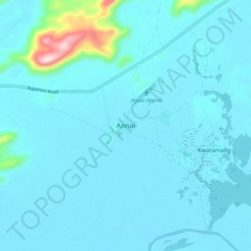
Name: Annai topographic map, elevation, terrain.
Average elevation: 101 m
Minimum elevation: 73 m
Maximum elevation: 422 m
Annai stands at an altitude of 95 metres (314 feet), at the edge of the Rupununi savannah, where the cattle trail to the Atlantic coast begins. It is nestled in the foothills of the Pakaraima Mountains, and is close to the Rupununi River. Annai, considered to be the gateway to the Rupununi, is approximately 15 miles (24 km) north of Karanambo and is 416 km (258 mi) by road from the nation's capital, Georgetown.