
Tumbalá topographic map
Interactive map
Click on the map to display elevation.
About this map
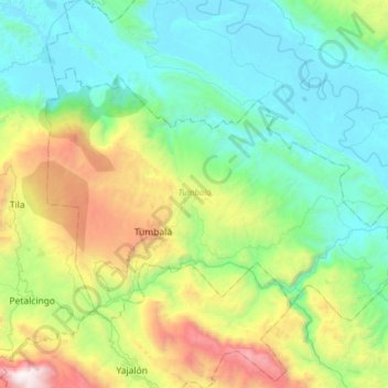
Name: Tumbalá topographic map, elevation, terrain.
Location: Tumbalá, Chiapas, México (17.20948 -92.40319 17.40642 -92.08841)
Average elevation: 674 m
Minimum elevation: 43 m
Maximum elevation: 2,465 m