
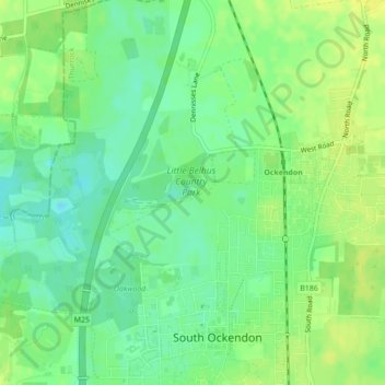
Little Belhus Country Park topographic map
Interactive map
Click on the map to display elevation.
About this map
Name: Little Belhus Country Park topographic map, elevation, terrain.
Average elevation: 19 m
Minimum elevation: 9 m
Maximum elevation: 28 m
Other topographic maps
Click on a map to view its topography, its elevation and its terrain.
Mardyke
United Kingdom > England > Thurrock > South Ockendon
Mardyke, London Borough of Havering, South Ockendon, Thurrock, East of England, England, RM19 1GU, United Kingdom
Average elevation: 16 m