
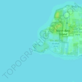
Manila Bay topographic map
Interactive map
Click on the map to display elevation.
About this map
Name: Manila Bay topographic map, elevation, terrain.
Average elevation: 173 m
Minimum elevation: 171 m
Maximum elevation: 182 m
Other topographic maps
Click on a map to view its topography, its elevation and its terrain.
Elliston
United States > Ohio > Ottawa County
Elliston, Benton Township, Ottawa County, Ohio, 43432, United States
Average elevation: 183 m
Marblehead
United States > Ohio > Ottawa County > Marblehead
Marblehead, Danbury Township, Ottawa County, Ohio, United States
Average elevation: 178 m
Graytown
United States > Ohio > Ottawa County > Graytown
Graytown, Benton Township, Ottawa County, Ohio, 43432, United States
Average elevation: 182 m