
Cork Landing topographic map
Interactive map
Click on the map to display elevation.
About this map
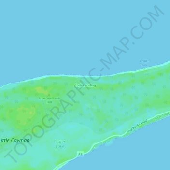
Name: Cork Landing topographic map, elevation, terrain.
Location: Cork Landing, Sister Islands, Cayman Islands (19.67829 -80.04996 19.71829 -80.00996)
Average elevation: 2 m
Minimum elevation: 0 m
Maximum elevation: 11 m