
Thank you for supporting this site ❤️
Make a donation
Make a donation
Gear up for your next adventure:
As an Amazon Associate, this site earns from qualifying purchases at no extra cost to you.
Hazelrigg topographic map
Click on the map to display elevation.
Thank you for supporting this site ❤️
Make a donation
Make a donation
Gear up for your next adventure:
As an Amazon Associate, this site earns from qualifying purchases at no extra cost to you.
About this map
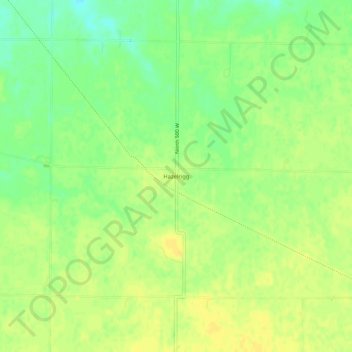
Name: Hazelrigg topographic map, elevation, terrain.
Location: Hazelrigg, Boone County, Indiana, 46071, United States (40.06226 -86.58306 40.10226 -86.54306)
Average elevation: 277 m
Minimum elevation: 263 m
Maximum elevation: 286 m
Thank you for supporting this site ❤️
Make a donation
Make a donation
Gear up for your next adventure:
As an Amazon Associate, this site earns from qualifying purchases at no extra cost to you.