
Imperial Park topographic map
Interactive map
Click on the map to display elevation.
About this map
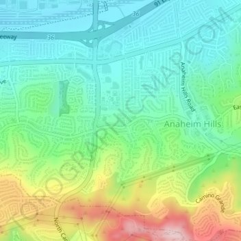
Name: Imperial Park topographic map, elevation, terrain.
Average elevation: 160 m
Minimum elevation: 77 m
Maximum elevation: 341 m
Other topographic maps
Click on a map to view its topography, its elevation and its terrain.
Anaheim
United States > California > Orange County > Anaheim
Anaheim, Orange County, California, 92805, United States
Average elevation: 98 m
Neff
United States > California > Orange County > Anaheim > Neff
Neff, Anaheim, Orange County, California, 92812-9998, United States
Average elevation: 39 m