
Avant topographic map
Interactive map
Click on the map to display elevation.
About this map
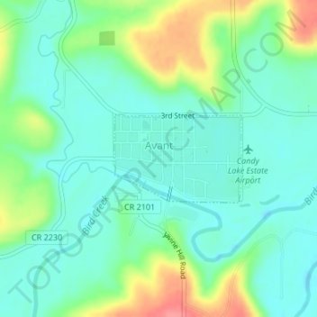
Name: Avant topographic map, elevation, terrain.
Location: Avant, Osage County, Oklahoma, 74001, United States (36.48464 -96.06697 36.49218 -96.05349)
Average elevation: 221 m
Minimum elevation: 198 m
Maximum elevation: 274 m