Geolocate

Samdeok-dong topographic map

Interactive map

Click on the map to display elevation.

About this map

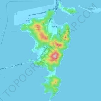
Name: Samdeok-dong topographic map, elevation, terrain.

Location: Samdeok-dong, Gangseo-gu, Busan, South Korea (34.98859 128.76132 35.07488 128.85864)

Average elevation: 25 m

Minimum elevation: -6 m

Maximum elevation: 425 m

Other topographic maps

Click on a map to view its topography, its elevation and its terrain.

Yeongdo-gu

South Korea > Busan

Yeongdo-gu, Busan, South Korea

Average elevation: 9 m

Gangseo-gu

South Korea > Busan

Gangseo-gu, Busan, South Korea

Average elevation: 29 m

Geumjeong-gu

South Korea > Busan

Geumjeong-gu, Busan, South Korea

Average elevation: 208 m