
Athuma topographic map
Interactive map
Click on the map to display elevation.
About this map
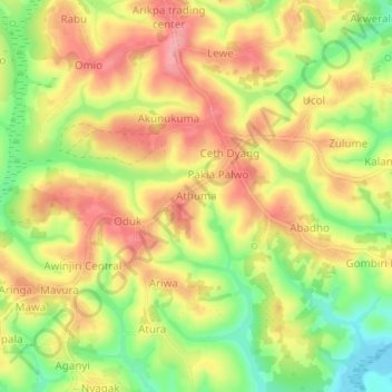
Name: Athuma topographic map, elevation, terrain.
Location: Athuma, Zombo, Northern Region, Uganda (2.43956 30.85148 2.47956 30.89148)
Average elevation: 1,586 m
Minimum elevation: 1,527 m
Maximum elevation: 1,632 m