
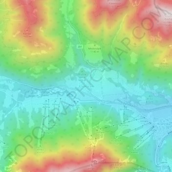
Podkoren topographic map
Interactive map
Click on the map to display elevation.
About this map
Name: Podkoren topographic map, elevation, terrain.
Location: Podkoren, Kranjska Gora, 4280, Slovenia (46.47376 13.73669 46.51376 13.77669)
Average elevation: 1,096 m
Minimum elevation: 798 m
Maximum elevation: 1,644 m