
Surgoinsville topographic map
Interactive map
Click on the map to display elevation.
About this map
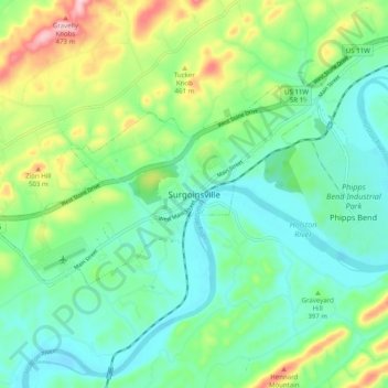
Name: Surgoinsville topographic map, elevation, terrain.
Average elevation: 394 m
Minimum elevation: 326 m
Maximum elevation: 565 m
Other topographic maps
Click on a map to view its topography, its elevation and its terrain.
Stony Point
United States > Tennessee > Hawkins County > Surgoinsville
Stony Point, Surgoinsville, Hawkins County, Tennessee, 37873, United States
Average elevation: 384 m