
Aïn Youcef topographic map
Interactive map
Click on the map to display elevation.
About this map
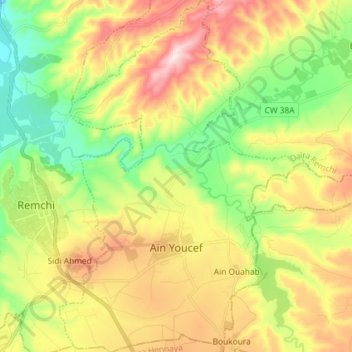
Name: Aïn Youcef topographic map, elevation, terrain.
Location: Aïn Youcef, Remchi District, Tilimsen, Algeria (35.01182 -1.42213 35.13093 -1.32077)
Average elevation: 231 m
Minimum elevation: 57 m
Maximum elevation: 460 m