
Puente Bomba topographic map
Interactive map
Click on the map to display elevation.
About this map
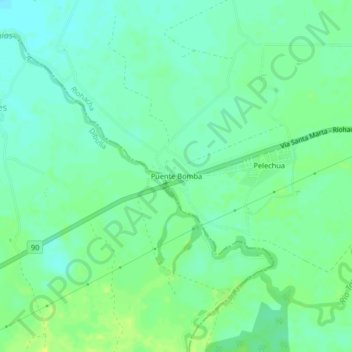
Name: Puente Bomba topographic map, elevation, terrain.
Location: Puente Bomba, Riohacha, La Guajira, Colombia (11.24327 -73.17740 11.28327 -73.13740)
Average elevation: 15 m
Minimum elevation: 8 m
Maximum elevation: 24 m