
Perani topographic map
Interactive map
Click on the map to display elevation.
About this map
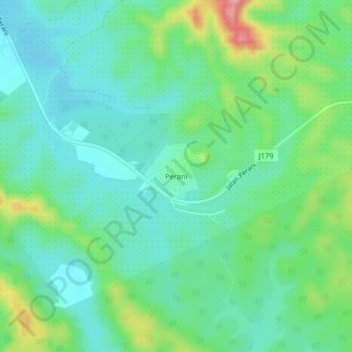
Name: Perani topographic map, elevation, terrain.
Location: Perani, Johor, Malaysia (1.75220 103.96180 1.79220 104.00180)
Average elevation: 50 m
Minimum elevation: 11 m
Maximum elevation: 152 m