
Schifflange topographic map
Interactive map
Click on the map to display elevation.
About this map
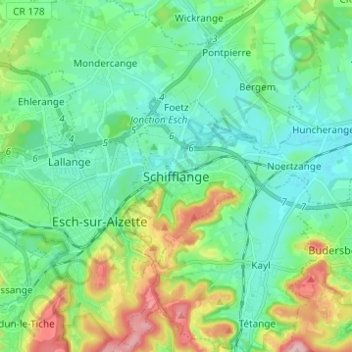
Name: Schifflange topographic map, elevation, terrain.
Location: Schifflange, Canton Esch-sur-Alzette, 3801, Luxembourg (49.46627 5.97182 49.54627 6.05182)
Average elevation: 314 m
Minimum elevation: 269 m
Maximum elevation: 441 m