
معتق العتم topographic map
Interactive map
Click on the map to display elevation.
About this map
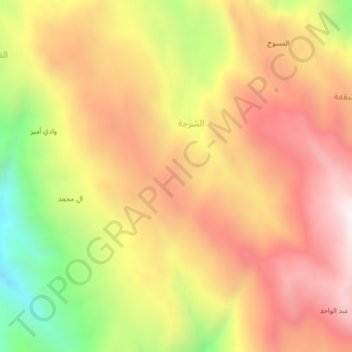
Name: معتق العتم topographic map, elevation, terrain.
Location: معتق العتم, مديرية قضاء رازح, محافظة صعدة, Iêmen (16.95727 43.21156 16.99727 43.25156)
Average elevation: 1,741 m
Minimum elevation: 1,106 m
Maximum elevation: 2,205 m