
Mawdesley topographic map
Interactive map
Click on the map to display elevation.
About this map
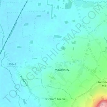
Name: Mawdesley topographic map, elevation, terrain.
Location: Mawdesley, Chorley, Lancashire, England, United Kingdom (53.61453 -2.80819 53.65226 -2.73590)
Average elevation: 21 m
Minimum elevation: 2 m
Maximum elevation: 148 m