
Peck topographic map
Interactive map
Click on the map to display elevation.
About this map
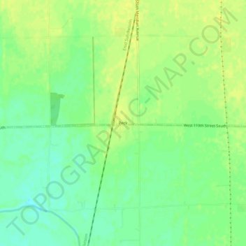
Name: Peck topographic map, elevation, terrain.
Location: Peck, Kansas, 67120, United States (37.45752 -97.39227 37.49752 -97.35227)
Average elevation: 383 m
Minimum elevation: 372 m
Maximum elevation: 389 m