
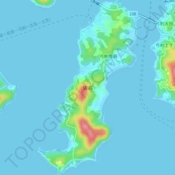
佐島 topographic map
Interactive map
Click on the map to display elevation.
About this map
Name: 佐島 topographic map, elevation, terrain.
Location: 佐島, 上島町, 越智郡, Prefectura de Ehime, 四国地方, Japón (34.22683 133.17615 34.25728 133.19869)
Average elevation: 9 m
Minimum elevation: 0 m
Maximum elevation: 101 m