
Uhland topographic map
Interactive map
Click on the map to display elevation.
About this map
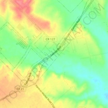
Name: Uhland topographic map, elevation, terrain.
Location: Uhland, Caldwell County, Texas, United States (29.94099 -97.82884 29.97998 -97.76512)
Average elevation: 180 m
Minimum elevation: 151 m
Maximum elevation: 217 m
Other topographic maps
Click on a map to view its topography, its elevation and its terrain.
Lockhart State Park
United States > Texas > Caldwell County > Lockhart
The park features roughly four miles of designated trails that cover a wide range of environments. In addition to multiple short, shade covered trails along the creek in a riparian zone, a network of natural trails traversing multiple hillsides and ravines is located on the backside of the park. A moderate…
Average elevation: 165 m