
Wezuperbrug topographic map
Interactive map
Click on the map to display elevation.
About this map
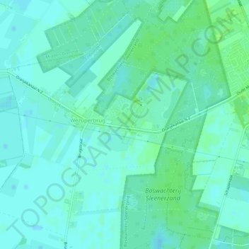
Name: Wezuperbrug topographic map, elevation, terrain.
Location: Wezuperbrug, Coevorden, Drenthe, Pays-Bas (52.82656 6.70014 52.85379 6.75040)
Average elevation: 20 m
Minimum elevation: 16 m
Maximum elevation: 25 m
Other topographic maps
Click on a map to view its topography, its elevation and its terrain.