
Ardoise topographic map
Interactive map
Click on the map to display elevation.
About this map
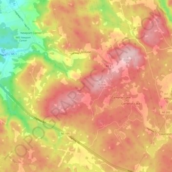
Name: Ardoise topographic map, elevation, terrain.
Location: Ardoise, Hants County, Nouvelle-Écosse, Canada (44.90443 -63.97147 44.98574 -63.89384)
Average elevation: 149 m
Minimum elevation: 17 m
Maximum elevation: 236 m