
La Alhama topographic map
Interactive map
Click on the map to display elevation.
About this map
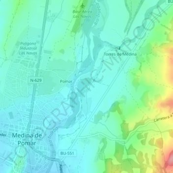
Name: La Alhama topographic map, elevation, terrain.
Location: La Alhama, Medina de Pomar, Castilië en León, 09500, Spanje (42.93041 -3.48339 42.95041 -3.46339)
Average elevation: 606 m
Minimum elevation: 580 m
Maximum elevation: 697 m