
Durrow topographic map
Interactive map
Click on the map to display elevation.
About this map
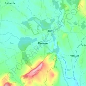
Name: Durrow topographic map, elevation, terrain.
Location: Durrow, County Laois, Leinster, Ireland (52.80566 -7.43571 52.88566 -7.35571)
Average elevation: 103 m
Minimum elevation: 65 m
Maximum elevation: 251 m